Villanow’s Scenic Sites: Johns Mountain, Keown Falls, and The Pocket

It has been almost 15 years since I lived in Georgia. That seems like such a long time ago. All that time away from where I grew up is one of the things that enabled me to make Jordan’s Journey. If I had stayed in the same place, I don’t think I would have been able to see it with fresh eyes. Growing up, I never thought much about the place I lived. It was just normal. But now that I have such a wide range of experience to contrast it against, that little valley I call home is a beautiful spot. Diverse experiences in life are good. It helps you appreciate the world more because you see the unique beauty in your surroundings. I’m thankful my parents instilled in me an appreciation for travel and exploration.
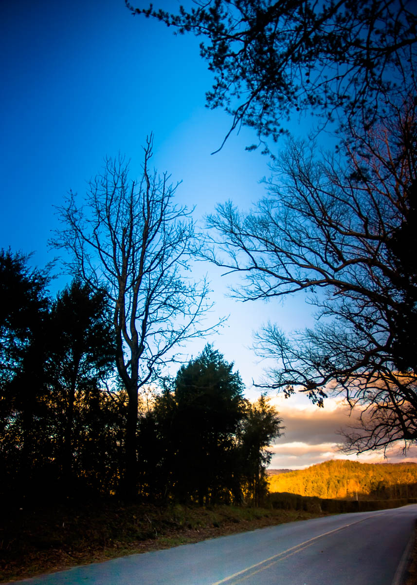
As beautiful as the Armuchee Valley area is, it’s not exactly where tourists will likely visit. Most of the land is privately owned, much of it going back generations into the area families such as my Pope family. Most people enjoy the area simply by driving along the (officially designated) scenic byways. Just look at the photo I took along Pocket Road earlier this year. Sunset was approaching, and the mountains were bathed in a beautiful curtain of light. You can see how driving along the roads is an attraction in and of itself. In fact, a huge swath of the area around Armuchee Valley is part of the Chattahooche National Forest. While there isn’t much infrastructure to accommodate mainstream tourism, the National Forest does offer some publicly accessible hiking and camping, perfect for those of us with a bit of an adventurous spirit.
Two of the primary areas you can visit are located on Pocket Road. Pocket Road begins just east of the main Villanow crossroads where the old brick country store stands. About 4 miles down this road is the John’s Mountain overlook entrance. A road takes you to the top of the mountain where you can enjoy the view of East Armuchee and West Armuchee beyond that. Beware, though, as it’s an unpaved road–so be prepared for that.
The overlook platform was constructed in 1964 by the Accelerated Public Works Program. The spot where the overlook sits is the former location of the Johns Mountain fire tower. The original tower was built in 1940 by the CCC (see below). A new tower was built in 1961. Grady Richardson (of the Armuchee Valley Richardson family) was the foreman on this construction project (Fearrington 37). It was dismantled in 1979 and donated to the Walker County Correctional Institute. In 1980, the area officially became a recreation area. It was developed by the Youth Conservation Corps (Fearrington 52).
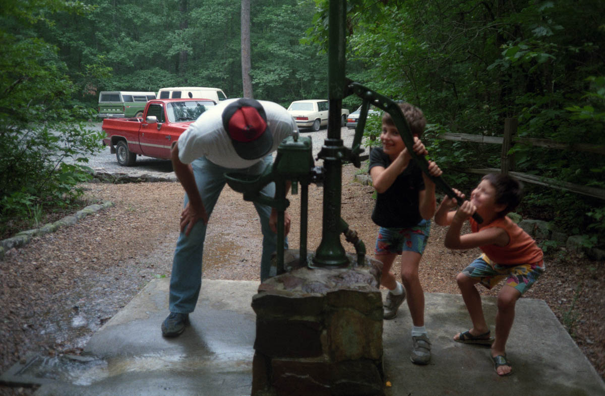
One more mile down the Pocket Road is the entrance to Keown Falls Scenic Area and Recreation Area (two adjacent areas created at different times). The scenic area was established on 27 November 1962. The area contains 218 acres and is “typical of the Limestone Valley and plateau country” (Fearrington 54). The recreation area is made up of a picnic area and toilet facilities. Water for drinking and cooking is available via a hand pump. Check out the photo below of my father, me, and my cousin Kevin, thirsty for water when we visited in 1989!

From the picnic area, you can hike the Johns Mountain trail (3.5-mile loop) and Keown Falls trail (1.2-mile loop), the latter of which intersects the Pinhoti Trail at two different points.
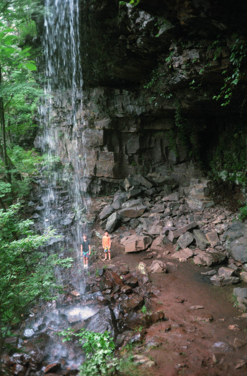
That day in 1989, we hiked to the waterfall, too.

I hiked the trail again for the first time since 1989, just earlier this year. It was even more beautiful than I remembered it. After that hike, I ran across a piece written by Claudia Brown in the 13 August 1903 edition of the Summerville News. Claudia was a resident of Beatum, a community that was located near the Walker/Chattooga line in East Armuchee. (I suspect she is related to my Brown family, as they seemed to live in that area–but I’ve no documentation on this). Claudia wrote of a summer outing to Johns Mountain:
“On Saturday morning July 25th I started on a rambling journey. When I left my home I didn’t think of going very far, but as I passed through the fields, viewing the corn, cotton, melons, peas, grass and many other things that God is blessing us with, it inspired my mind and heart with many glorious thoughts so I went on. Passed over a small stream of water and then I very soon came to the foot of Johns Mountain. It seemed that old mother earth was dressed in green, tipped with yellow, red and purple. The thought came to me, shall this earth be called a veil of tears and all its hopes be compared to a weathered loath. Is happineess below but a fading vision” (Grigsby)?
Claudia continued:
“As I neared the top of the mountain I could see other mountains on either side. Nature, Nature, Lessons for us if we knew how to get them. I stood and gazed with eager eyes the far away valleys and mountains and thought of that beautiful song ‘The far away land.’ Those lands, though seemingly far away, were very near to me for I dearly love this old land of ours” (Grigsby).
Claudia no doubt didn’t benefit from well-maintained trails like we do today. But her description matches to a tee my own experience over 100 years after she wrote that. The land seems so virgin and untouched. These trails are a real treat for all of Walker and the surrounding counties.
The Keown Falls recreation area and the Forest Service road that takes you there were constructed in 1963-4 by the same Accelerated Public Works Program as the Johns Mountain overlook (Fearrington 51). The falls and the areas are named for Gordon Keown–a distant cousin of mine best known as a friend and advisor for Martha Berry of Berry College. (I’ll be writing more about him in the future–stay tuned!)
After the Keown Falls Scenic Area, Pocket Road will take you about 2 miles more (if you’ve been keeping track, about 7 miles from the beginning of Pocket Road) to the Walker/Floyd county line. Just across the county line, you’ll find the entrance to the Pocket (don’t confuse it with an area known by the same name located on Pigeon Mountain). The Pocket is a recreational area that lies in a valley surrounded by the horseshoe-shaped Horn Mountain (Fearrington 48). This area has a hiking trail called the Pocket Trail (a 2.5-mile loop).
The Pocket is known for being the site of a Civilian Conservation Corps camp from 1938 to 1942. The CCC was a work relief program created as part of Roosevelt’s New Deal. Young men were “provided unskilled manual labor jobs related to the conservation and development of natural resources in rural lands owned by federal, state and local governments” (Civilian). Camp F-16, Company 3435 was located in The Pocket and provided jobs for many area men (Dow). When I interviewed my Grannie, Mary Pope Jordan, about her experience during the Great Depression (see the Jordan’s Journey book for this interview), she recalled the CCC camp. The camp no doubt helped some Armuchee Valley families get through hard times. Though sources do not say exactly, it appears the Pocket area was developed into a recreation area around 1958 (Fearrington 48). Also in the Pocket valley is the Lake Marvin Girl Scout Camp. While the Girl Scouts own and operate the lake, it is open to the public and is a good place for fishing.
The map below shows the route described in this post–from the beginning of Pocket Road (A), past the Johns Mountain overlook (B), Keown Falls scenic area (C), and ending at the Pocket recreational area (D). If you look at the terrain view, you can see the horseshoe shape of the Pocket valley very clearly.
These places were part of my life growing up, as they were for the generations that came before me too. I enjoy visiting these scenic areas not only because I love the outdoors and hiking but also because I know the primitive forests appear today basically the same as they would have to my ancestors, who were among the original settlers of the area. It’s no wonder they settled there. Northwest Georgia is stunningly beautiful if you take the time to stop and notice it.
But perhaps Claudia Brown summed it up best back in 1903:
“I came around under some cliffs and saw on the huge rocks the beautiful flowers and ferns hanging from the steep part of the mountain. I could but think that nature is a honey drop by which the Lord sweetens the bitter cup of his people. Dear readers I some times think if we would only take the right view of what the Lord has done for us and is doing for us, it would lift our hearts upward in hope to him who has blessed us with so many grand and noble things here on earth and we would try hinceforth, not only to say, but to feel that our praise and sacirifises for God are as little wild flowers that our blessed Saviour has placed on so many hills and mountains” (Grigsby).
Taking a trip into such a forest is just another way to take the trip into the past. And that is what Jordan’s Journey is all about.
SOURCES
“Civilian Conservation Corps.” Wikipedia. Web. Accessed 26 November 2012.
Dow, Fred & Suzi. “The Pocket Campground: A dash of history.” Camping With Suzi. Web. Accessed 26 November 2012.
Fearrington, Tom. History of the Armuchee Ranger District. LaFayette, GA: Armuchee Ranger District, Chattahoochee-Oconee National Forests, USDA Forest Service, 1986. Print. Digital copy available at Scholars Archive @ OSU.
Georgia Conservancy. “Longstreet Highroad Guide to the North Georgia Mountains.” SherpaGuides.com. Web. Accessed 26 November 2012.
Grigsby, David & Delores, comp. Summerville News 1891-1903. This document was dictated from copies of the Summerville News on microfilm at the Summerville Library in 1987 and later transcribed.
JP. Keown Falls-Armuchee, Georgia.” SouthernHiker. Web. Accessed 26 November 2012.
Take a trip into the past
Thanks for visiting the Jordan's Journey blog archive. These posts have been made available here for continued reference and research purposes.
The original book is available to order from our shop or your favorite bookseller.
For questions or other inquiries: get in touch.


I moved away from that area in 1980. I’ve officially lived in the New York area for more than half my life and yet I still call that part of NW Georgia my home… it’s in your blood and you can’t shake it. You did an amazing job of capturing this!
I really love that picture of the waterfall. Those natural falls move me to my very soul.
I remember taking you to the top of Johns Mountain many years ago, but I don’t think I ever took you to the falls? We really should make it a point to do that.
We do have beautiful sunsets in the country. I remember going to the Pocket picnic area where the springs were located. We played in the icy cold water. That was refreshing in the hot southern summers.
Sunsets and springs: Two lovely things about the area, for sure!
Hi, I’m Teresa Hunt Ricci. I was reading your blog from my cousin, Jody’s FB post. Me and my family are also from Villanow. My grandparents on my father’s side lived in a large southern home across from what was “Friendship Baptist”. We lived on that property for a while and when my father passed my mom built our home on the right side of 201 going towards Dalton, the property before the county line. Her name is Margaret Hunt. Her parents lived on and ran the old Gowin Farm.
Would we know each other?
Hi Teresa. I don’t think we know each other. I know your cousin Jodie though!
Is the old Gowan Farm where Paradise Arabians is now? If so, that’s where my Goodson ancestors lived (and are buried).
I really enjoy reading your post on the area. I was born and raised in Villanow. My parents still live there Allen and Betty Harmon . They live on Concord road.I tressure my childhood in that part of North Georgia, The old country store and the men who set out there on the pew were all a wonderful part of my childhood. Do you also know there use to be another store right up 201 The Eaker Store. Jap Shahan , Molly and Lenorad Eaker, Elmer Carnes and a few other old timers were regular face’s in that store . Molly was my sitter and I spent some wonderful days there. This area has so much untold history. Keep posting I really enjoy
I passed the Girl Scout camp many times just to see Lake Martin and the campgrounds. I was there before they paved the Pocket Road over the mountain. Never found the falls though.